
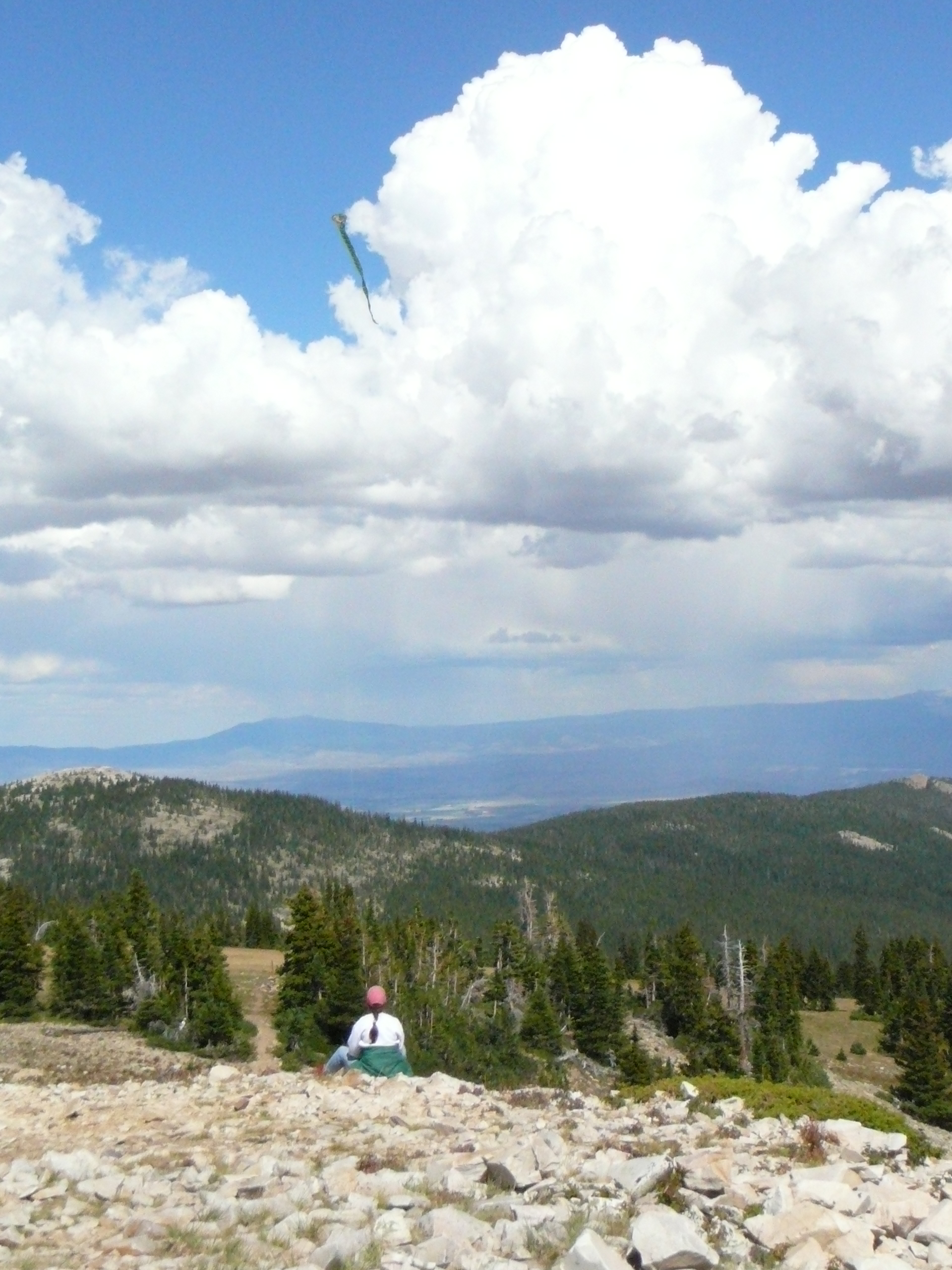
Bridger Peak has an elevation of 11,003 feet.
Here I am flying a kite at the top – something I always wanted to do!
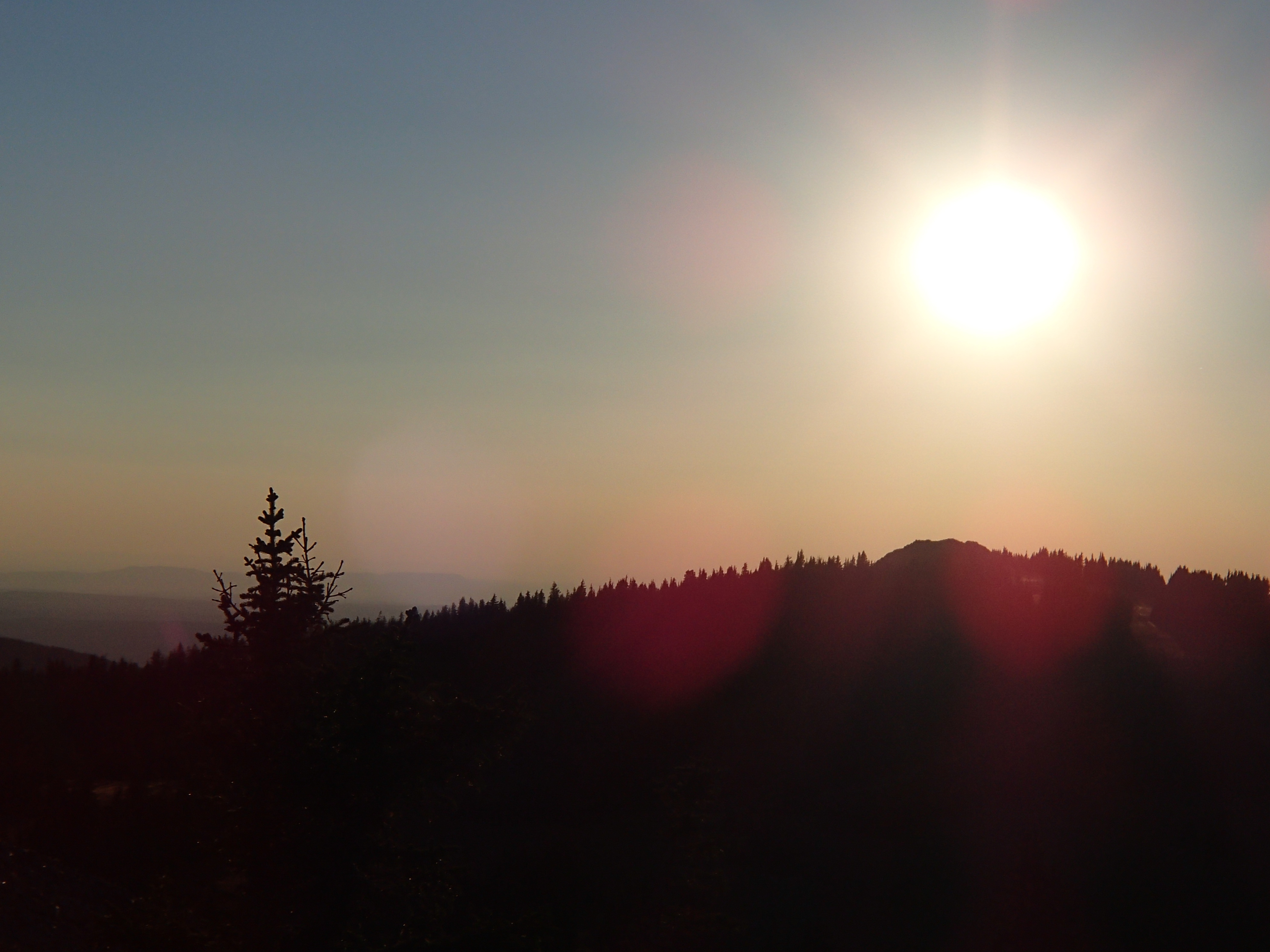
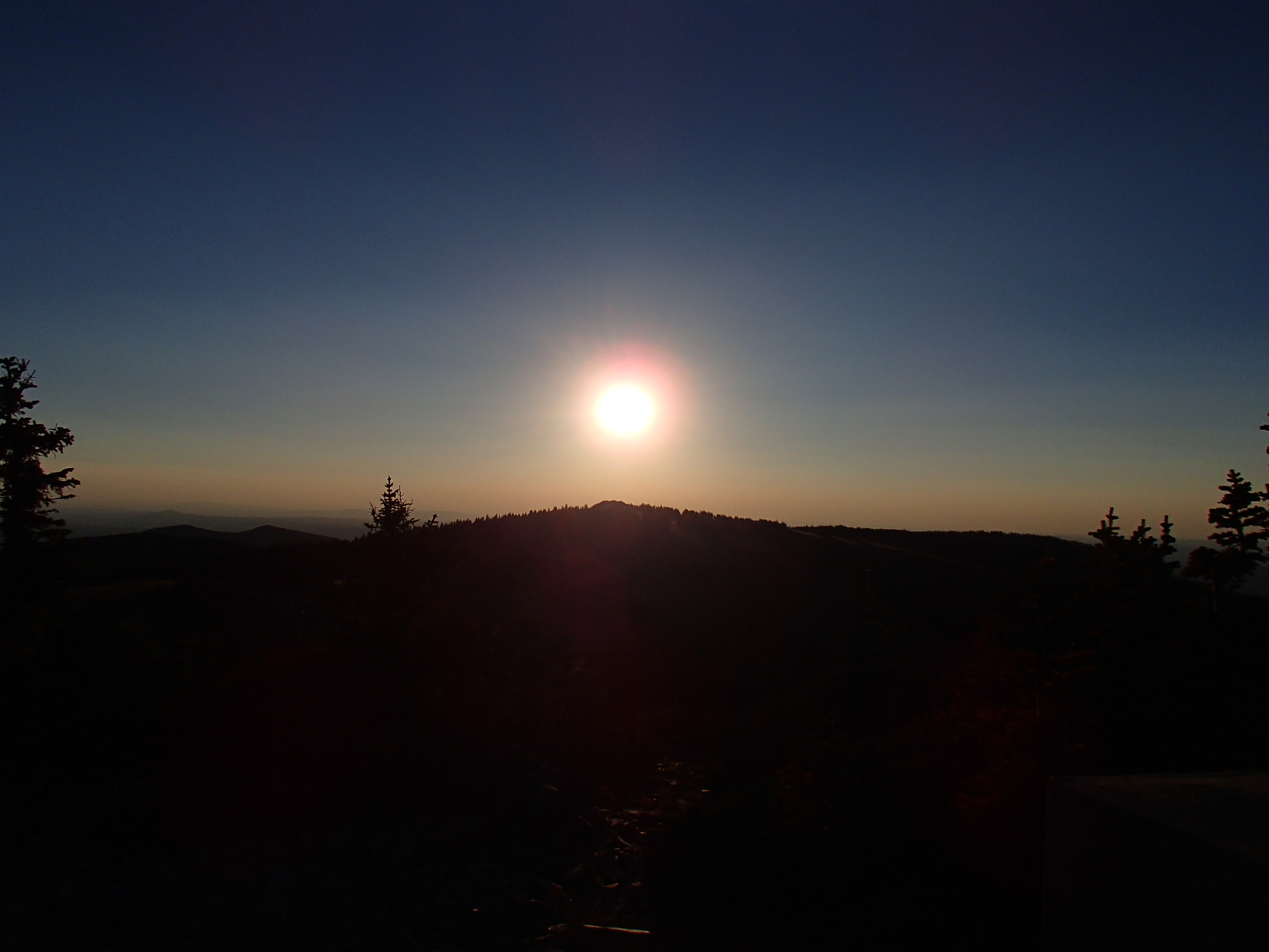
Watching the sun set from Bridger Peak. Priceless!

My first trip ever to Dillon with my dad and our dog, Thunder. This is downtown Dillon, Wyoming on July 4th, about 1968. Notice the snow! You can never know what the weather will bring at this altitude (about 10,500 feet!)

Another building in the ghost town of Dillon, Wyoming circa 1968.

My dad and I found this cabin in our exploring of the Sierra Madres. This is the place I patterned Nathan’s cabin after.

LIke Nathan’s boiler when Hannah sees it, this boiler lies on its side, rusting among the trees.

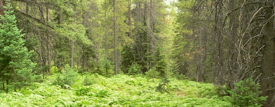
There really is a cave tucked into the forest near Haggarty creek. My husband and I stumbled on it several years ago. This picture is from inside the cave looking out. Can you picture Hannah hiding here?

Some of the tram way stations were still standing when my Dad and I spent time each summer in the Sierra Madres. I was in high school when this picture was taken. The deep snows and high winds have now reduced these pieces of history to a few timbers and some legths of cable.

Rudefeha is the site of the Ferris-Haggarty mine and the beginning of the tramway that carried copper to the smelter in Encampment. This shot was taken in the 1980s.

Another shot of the ghost town and mine at Rudefeha. This one was taken in the 1980s.

Snow on main street of the ghost town of Dillon. This picture was taken on August 15, 2010!
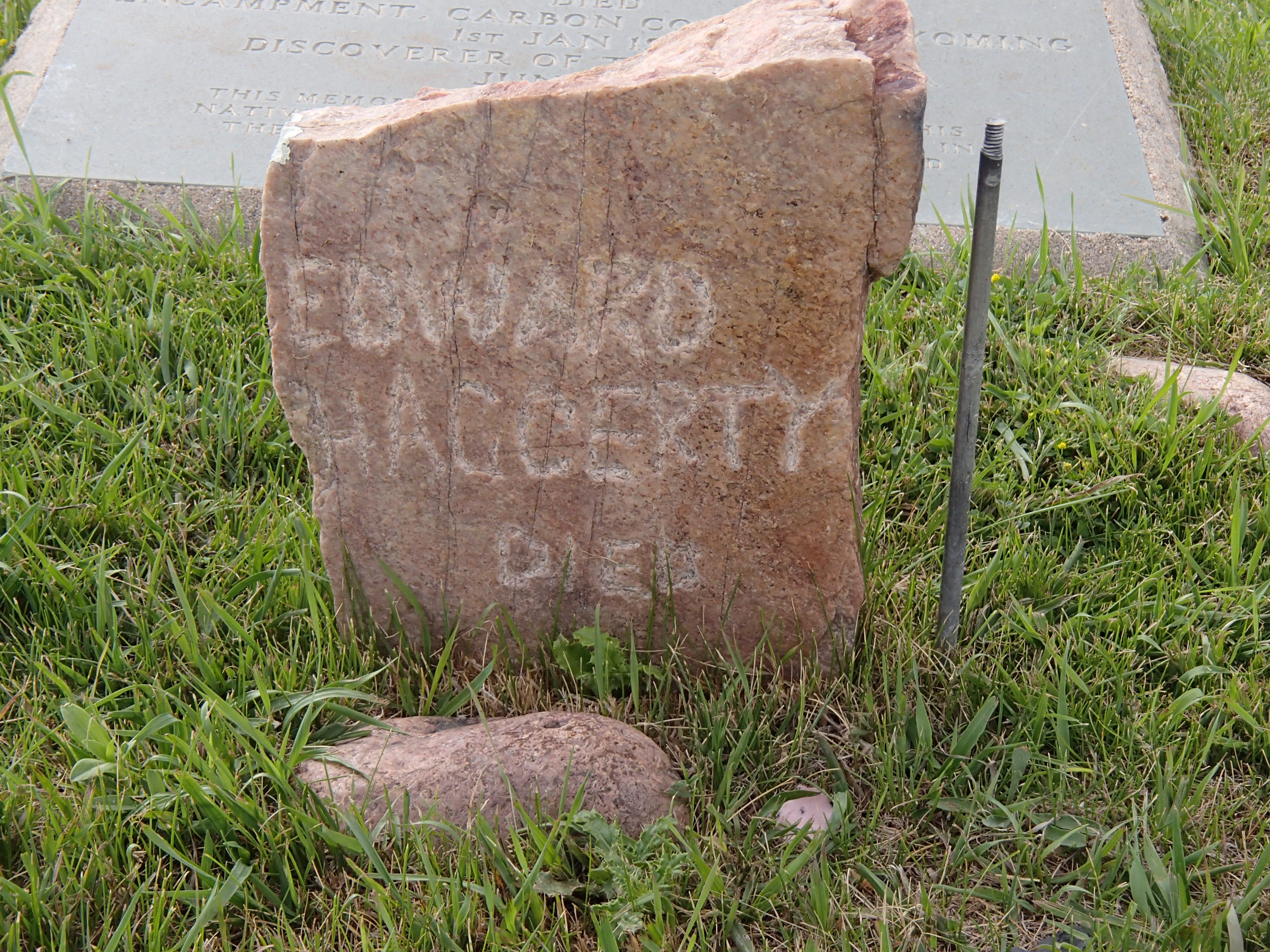
Ed Haggarty discovered copper in the Sierras and began the copper boom. He is buried in Encampment.